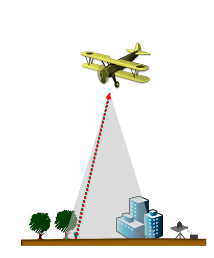
Airborne LiDAR is the fastest growing area within the GIS market. It is able to cover large areas of land safely and accurately in a matter of minutes. An Airborne LiDAR System fixed to a helicopter or aircraft is capable of scanning vast areas of land covering many miles. Airborne LiDAR is ideal for continuous mapping of long corridors as the scanner maps as long as the flight. Some of the application where this type of mapping is very effective is,