Mobile mapping become one of the most important mapping technologies now a days. It helps the users to visualize measure and understand the details.
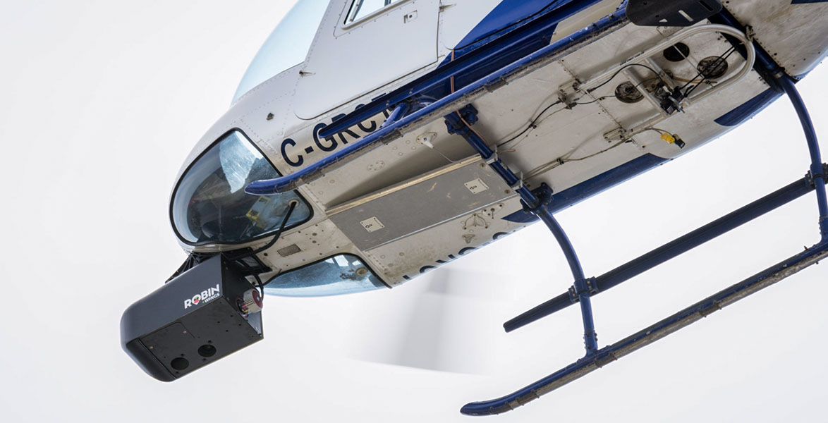
The prime benefit of the airborne lidar is the area of coverage. It is able to cover large areas of land within a short time. Many Kilometers of data collection is possible in a single day with the help of a helicopter or aircraft.
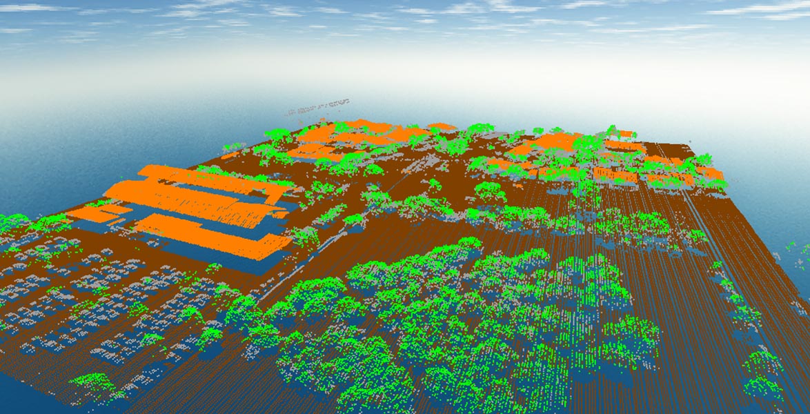
LIDAR data sets can be classified based on the features. For example, classes include ground, vegetation (low, medium and high), building, water, unassigned etc.
Cadastral map provides a cartographic record of official and private land surveys. These maps record the land ownerships and it assists the valuation and taxation of land.
We are doing GIS related CAD works also. Once the mapping is finished, we do the River Cross section, Longitude Section and Ground Profile drawings in CAD work stations.
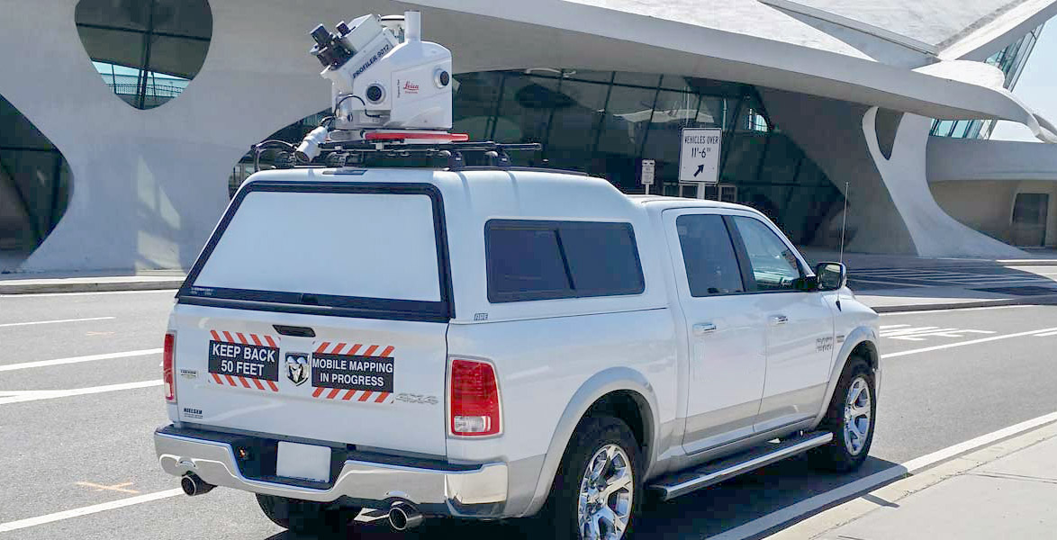
Blurring out the license plate is a matter of limiting your exposure to potential thieves, stalkers, and other trouble makers.
Learn MoreIt is the process of assigning real-world coordinates to each pixel of the raster. Georeferencing means to associate something with locations in physical space.
Learn MoreConverting the hand-sketched or drawn paper drawings into very accurate CAD drawings.
Learn More