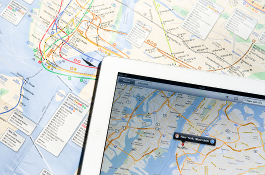
Most of the mapping is done with the help of Terra scan, Descartes, Flip7, Geo VISAT, ArcGIS, QGIS like software. But, block placing, cross-section and the longitudinal section can be taken with the help of CAD software. We are doing that also. Once the mapping is finished for River, Road or Power lines, the finalized drawings are prepared with the help of CAD.