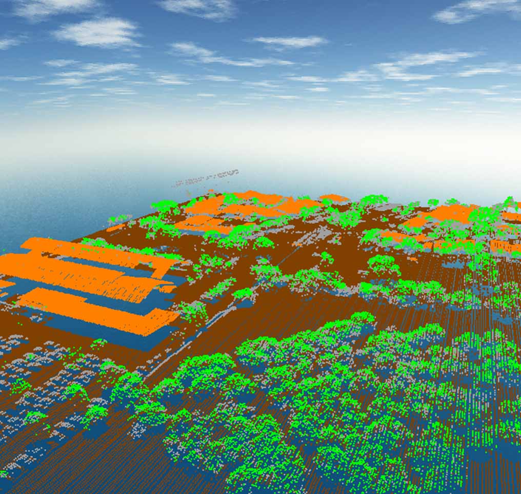
Every LiDAR point can have a classification assigned to it that defines the type of object that has reflected the laser pulse. LiDAR points can be classified into a number of categories including bare earth or ground, top of the canopy, and water. The different classes are defined using numeric integer codes in the LAS files. The American Society for Photogrammetry and Remote Sensing (ASPRS) has defined a list of classification codes for LiDAR. For example, classes include ground, vegetation (low, medium and high), building, water, unassigned, etc. Point classification may fall into more than one category. If this is the case, these points are usually flagged and have secondary classes.