Mobile Mapping | Airborne LiDAR Mapping | LIDAR Point classification | Cadastral Mapping | CAD Work | GIS Works
Mobile Mapping | Airborne LiDAR Mapping | LIDAR Point classification | Cadastral Mapping | CAD Work | GIS Works

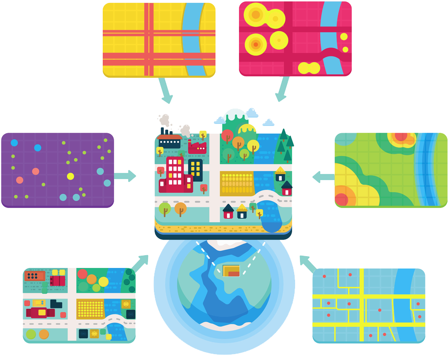
MAP Creations started in 2014. We specialize in GIS services for various sectors to create and update GIS data. Our services include road network mapping, parcel mapping, land mapping, railway mapping, river mapping, powerline mapping, levee mapping, etc. We also do point classification works as well as image georeferencing works.
Mobile mapping become one of the most important mapping technologies now a days. It helps the users to visualize measure and understand the details.
Learn MoreThe prime benefit of the airborne lidar is the area of coverage. It is able to cover large areas of land within a short time. Many Kilometers of data collection is possible in a single day with the help of a helicopter or aircraft.
Learn MoreLIDAR data sets can be classified based on the features. For example, classes include ground, vegetation (low, medium and high), building, water, unassigned etc.
Learn MoreCadastral map provides a cartographic record of official and private land surveys. These maps record the land ownerships and it assists the valuation and taxation of land.
Learn MoreWe are doing GIS related CAD works also. Once the mapping is finished, we do the River Cross section, Longitude Section and Ground Profile drawings in CAD work stations.
Learn More
Lorem ipsum dolor sit amet eos adipisci, consectetur adipisicing elit.
Neque cupiditate assumenda in maiores repudiandae mollitia architecto.
Delectus impedit saepe officiis ab aliquam repellat rem unde ducimus.
Lorem ipsum dolor sit amet eos adipisci, consectetur adipisicing elit.